 geo.be Metadata Catalog
Esri Shapefile
Type of resources
Available actions
Topics
INSPIRE themes
federalThemes
Keywords
Contact for the resource
Provided by
Years
Formats
Representation types
Update frequencies
status
Scale
-

Top10Vector – Land cover and vegetation is the vector data set of the land use of unbuilt land areas in Belgium. This data set includes three classes. First class: dry and unbuilt areas or areas not used as roads. Second class: hedges. Third class: linear vegetation. This data set can be bought via the corresponding hyperlink.
-

The Solar Ultraviolet - Visible Irradiance Monitoring network (SUVIM) is formed of observation stations operated by the Royal Belgian Institute for Space Aeronomy (IASB-BIRA). At each station, UV solar radiation is measured by several instruments. The network produces UV indices, solar irradiances and ancillary measurements such as meteorological conditions at the stations in quasi-real time. The SUVIM Station Network dataset includes information on the stations. It does not include the measured data, which form the SUVIM Observations dataset.
-

The dataset shows in the form of polygons the sand and gravel extraction sites in the Belgian marine areas as defined by the successive marine spatial plans. A 2014 version illustrates the 2014-2020 plan while the 2020 version illustrates the 2020-2026 plan.
-
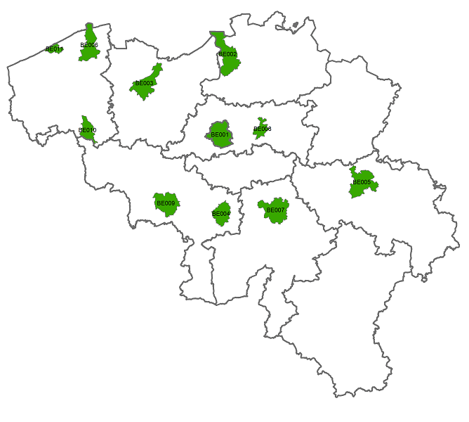
The data set includes three types of breakdown: Cities, Larger Urban zones or Functional Urban areas. BE_StatisticsBelgium_SH_SU_UA_CITY presents in the form of polygons the borders of the Belgian cities participating to the Urban Audit of the European Commission. Some cities consist in only one municipality (LAU2) while the others are the result of the aggregation of several municipalities (LAU2). Several versions of the breakdown (2001, 2002, 2010, 2019) follow one another because over the years new cities have taken part in it. The files can be linked to the statistical data collected for the Urban Audit. BE_StatisticsBelgium_SH_SU_UA_LUZ and BE_StatisticsBelgium_SH_SU_UA_FUA present in the form of polygons the areas of influence of the Urban Audit cities on the surrounding municipalities. The initial concept of Larger Urban Zones (LUZ) was replaced by the concept of Functional Urban areas (FUA) to take into account the movement of workers to the Urban Audit cities. LUZ / FUA are an aggregation of municipalities (LAU2). Several versions of the breakdown (2001, 2002, 2010, 2019) follow one another because over the years new LUZ / FUA have appeared or have seen their extension modified. The files can be linked to the statistical data collected for the Urban Audit.